Sentier des douaniers

Biriatou
  • Starting point : Biriatou
  • Total distance : 8,0 km
  • Elevation : 550 m
Download GPX track
  • Walking : 3 h. 15 min. Medium

La frontière se languit paisiblement sur les flots de la rivière Bidasoa, puis elle s'élève brusquement sur la dorsale des Pyrénées, en direction du col d'Ibardin, puis du massif de la Rhune. Des bornes frontières numérotées furent apposées dans la montagne pour délimiter cette ligne administrative, et il fallut déployer des rondes de douaniers attentifs pour ralentir jadis les opérations de contrebande nocturne et de trafic de marchandises. Cette randonnée marche partiellement sur les pas de ces veilleurs de frontière ; vous remarquerez que le métier demandait alors une certaine aisance physique, car la montée vers la borne frontière n°3 est plutôt sportive, heureusement sous ombrage d'une belle chênaie. Dans ces recoins oubliés de la montagne basque, si l'on n'est pas hostile aux pentes fortes, la boucle devient alors une belle envolée vers les premiers promontoire pyrénéens.

Balisage : Balisage GRT (rouge et blanc) pour le tronçon 1, PR (jaune) pour le reste

Download the details of this itinerary

Last update : 10/01/2025 à 07:35:32

Source : Sirtaqui | Communauté d'Agglomération Pays Basque
Photo credit : @Sirtaqui Cf. Communauté d'Agglomération Pays Basque

To discover around

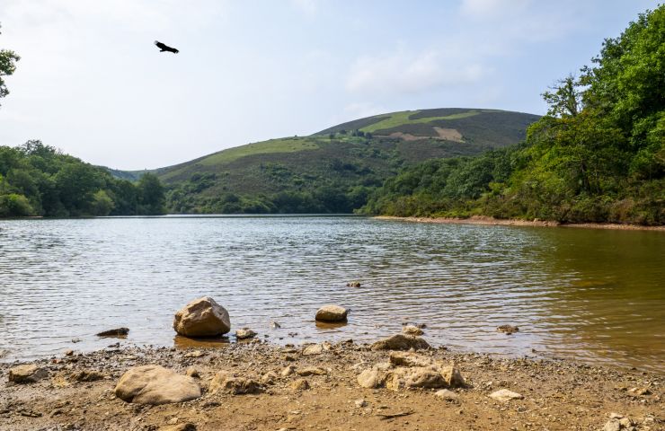
Col d'Ibardin et le lac Xoldokogaina

Col d'Ibardin et le lac Xoldokogaina

In the town of Urrugne, the Col d'Ibardin is part of the Pyrenean mountains of Labourd. Not far from the ocean, some ...

3,8 km - Urrugne

Sidrería Ola Sagardotegia

Sidrería Ola Sagardotegia

Thanks to their guided tours, you will learn more about their world, the world of apples. You will also appreciate ...

3,8 km - Irun

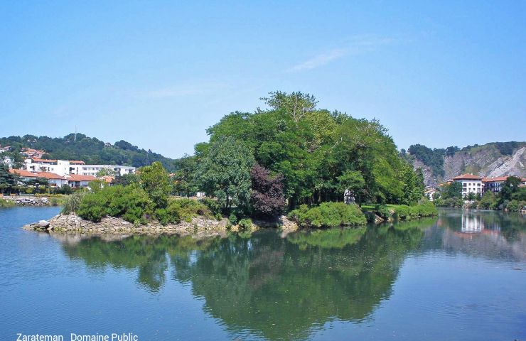
Ile de la Conférence (ou Ile des Faisans)

Ile de la Conférence (ou Ile des Faisans)

The Conference Island in French or the Pheasant Island in Spanish is a small river island, in the center of the ...

4,4 km - Hendaye

Wow Park

Wow Park
Wow Park

WOWPARK : The Largest Leisure Park in the Basque Country In the heart of the Urrugne forest, WOWPARK is a ...

5,0 km - Urrugne

Oihana

Oihana
Oihana

We are pleased to welcome you to the site of the largest adventure and paintball park in the Basque Country. ...

5,0 km - Urrugne

You will also like

Sentier des douaniers

Sentier des douaniers

Biriatou

Walking

Xoldo

Xoldo
Xoldo

2,5 km - Biriatou

Walking

Xoldo

Xoldo
Xoldo

2,5 km - Biriatou

Walking

De Irun à Hendaye

De Irun à Hendaye
De Irun à Hendaye

3,2 km - Biriatou

Velo hybrid Bike / road

La route des cols Hendaye Larrau

La route des cols Hendaye Larrau

3,2 km - Biriatou

Velo hybrid Bike / road

We tested for you

Irun and Hondarribia, a discovery of natural spaces in the Bidasoa region

Irun and Hondarribia, a discovery of natural spaces in the Bidasoa region
Irun and Hondarribia, a discovery of natural s ...

5,8 km - Irun

Three Crowns Hike Aiako Harria

Three Crowns Hike Aiako Harria

5,8 km - Irun

7 good reasons to visit Irun and Hondarribia

7 good reasons to visit Irun and Hondarribia

5,8 km - Irun

Irun: Heritage, nature and shopping walk!

Irun: Heritage, nature and shopping walk!

5,8 km - Irun

Hike on the coastal path from Bidart to Hendaye

Hike on the coastal path from Bidart to Hendaye

6,0 km - Hendaye